Crime Rates Map

Rate Crime Rates Map

How useful is the site?

Sent by email to the person who runs the site. Please leave out personal details.

E16Postcode district

E16 crime rate and crime map

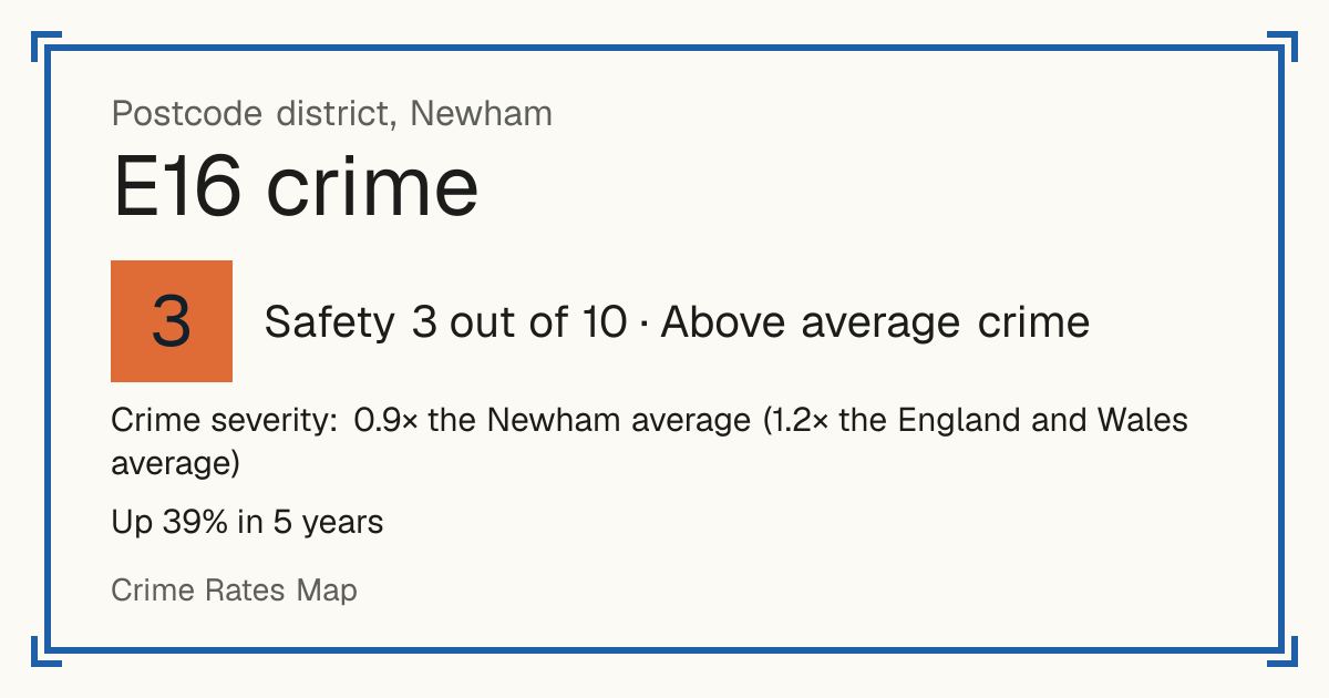
Recorded crime in E16 is 0.9 times the Newham average and 1.2 times the England and Wales average. Over 5 years it has risen 39%. The biggest share of the harm comes from violence and sexual offences (assaults, harassment, sexual offences). Police data to August 2026.

Newham. 69,547 residents in 37 neighbourhoods.

Safety in the UK
3/10Above average crime
Safety in the world
7/10Low crime
Living
9.1/10Excellent
5-year change
+39%more crimes
vs the council
0.9×the Newham average
Open on the map

Safety and Living

Safety

Crime severity: 0.9× the Newham average (1.2× the England and Wales average)

Crime only, by how serious it is. Compared with every postcode district. Higher is safer.

Living

Based on schools, transport, health, supermarkets, weighted by importance. Crime is not part of it. Higher is better.

Neighbourhoods by Safety

Tested: 79% of scores were within 1 point of what happened next. How we test

Newham 034A: Safety 1 out of 10, high crimeNewham 027C: Safety 1 out of 10, high crimeNewham 030B: Safety 3 out of 10, above average crimeNewham 030C: Safety 2 out of 10, high crimeNewham 030D: Safety 1 out of 10, high crimeNewham 034D: Safety 2 out of 10, high crimeNewham 031B: Safety 4 out of 10, above average crimeNewham 031C: Safety 4 out of 10, above average crimeNewham 036A: Safety 5 out of 10, average crimeNewham 036B: Safety 3 out of 10, above average crimeNewham 035D: Safety 2 out of 10, high crimeNewham 036C: Safety 3 out of 10, above average crimeNewham 036D: Safety 1 out of 10, high crimeNewham 032C: Safety 4 out of 10, above average crimeNewham 036E: Safety 2 out of 10, high crimeNewham 032D: Safety 5 out of 10, average crimeNewham 032E: Safety 6 out of 10, average crimeNewham 041C: Safety 3 out of 10, above average crimeNewham 042A: Safety 3 out of 10, above average crimeNewham 041A: Safety 2 out of 10, high crimeNewham 041B: Safety 6 out of 10, average crimeNewham 034I: Safety 4 out of 10, above average crimeNewham 033F: Safety 3 out of 10, above average crimeNewham 033G: Safety 5 out of 10, average crimeNewham 034J: Safety 2 out of 10, high crimeNewham 034K: Safety 1 out of 10, high crimeNewham 034L: Safety 4 out of 10, above average crimeNewham 034M: Safety 3 out of 10, above average crimeNewham 034N: Safety 2 out of 10, high crimeNewham 041D: Safety 2 out of 10, high crimeNewham 042B: Safety 2 out of 10, high crimeNewham 042C: Safety 7 out of 10, low crimeNewham 042D: Safety 10 out of 10, very low crimeNewham 042E: Safety 8 out of 10, low crimeNewham 042F: Safety 4 out of 10, above average crimeNewham 042G: Safety 9 out of 10, very low crimeNewham 042H: Safety 10 out of 10, very low crime
1 = least safe, 10 = safest. Grey: no score. Select a neighbourhood to open it on the map.

Crime over 5 years

Up 39% in 5 years Recorded crimes in E16, anti-social behaviour left out.

Sep 2021 – Aug 2022: 5,713 crimesSep 2021 – Aug 20225,713Sep 2022 – Aug 2023: 6,250 crimesSep 2022 – Aug 20236,250Sep 2023 – Aug 2024: 7,242 crimesSep 2023 – Aug 20247,242Sep 2024 – Aug 2025: 7,350 crimesSep 2024 – Aug 20257,350Sep 2025 – Aug 2026: 7,924 crimesSep 2025 – Aug 20267,924

What is recorded

Crime severity: 0.9× the Newham average (1.2× the England and Wales average). 89 recorded crimes per 1,000 residents a year.

  • Violence and sexual offences (assaults, harassment, sexual offences): 41% of the harm here
  • Robbery: 19% of the harm here
  • Burglary: 15% of the harm here

Anti-social behaviour: 25 incidents per 1,000 residents a year, not scored. Not a crime, so it is not part of the Safety score.

Shops, transport, schools and health

Distances are straight-line, not walking routes. Scores use fixed distance bands, so they do not depend on other districts. Higher is better.

Supermarkets

Good accessScore 8 out of 10
  • Typical distance to a large supermarket: 1.3 km.
  • Morrisons Canning Town (Morrisons), 2.2 km from the district centre
  • Makro Charlton (Makro), 2.4 km from the district centre
  • Sainsburys Charlton Riverside Superstore (Sainsburys), 2.4 km from the district centre

Transport

Excellent accessScore 9 out of 10
  • Typical number of bus stops within 400 m: 5.
  • Nearest railway station: Charlton Rail Station, 2.6 km from the district centre
  • Nearest tram or metro stop: Custom House Station, 300 m from the district centre

Schools

Excellent schools nearbyScore 9 out of 10

Primary schools within 2 km

  • Hallsville Primary School: Outstanding (graded inspection, 2023), 160 m away
  • Keir Hardie Primary School: Outstanding (graded inspection, 2024), 180 m away
  • St Helen's Catholic Primary School: Outstanding (graded inspection, 2022), 200 m away
  • Scott Wilkie Primary School: Outstanding (graded inspection, 2023), 290 m away
  • Rosetta Primary School: Outstanding (graded inspection, 2023), 360 m away

Secondary schools within 2 km

  • Oasis Academy Silvertown: Good (ungraded inspection, 2022), 370 m away
  • Royal Docks Academy: Expected standard (report card, 2026), 410 m away
  • Cumberland Community School: Good (graded inspection, 2022), 520 m away
  • Brampton Manor Academy: Outstanding (ungraded inspection, 2024), 770 m away
  • London Design and Engineering UTC: Exceptional (report card, 2025), 850 m away

    Health

    Excellent accessScore 10 out of 10
    • Nearest GP surgery: CUSTOM HOUSE SURGERY, 570 m from the district centre, CQC rating: Good
    • Nearest hospital with A&E: A&E Department, 1.5 km from the district centre

    Crime by type

    Recorded crimes per 1,000 residents per year, most serious first, not counting anti-social behaviour.

    TypePer 1,000 a year
    Robbery3.4
    Burglary5.8
    Violence and sexual offences (assaults, harassment, sexual offences)25.0
    Drugs5.3
    Possession of weapons (knives and other weapons)0.7
    Other crime2.2
    Other theft11.4
    Theft from the person (pickpocketing, bag snatching)4.4
    Vehicle crime (cars stolen and broken into)15.0
    Criminal damage and arson (vandalism)5.7
    Public order5.0
    Bicycle theft1.0
    Shoplifting4.5

    How often crimes lead to a charge

    In E16, 5% of crimes reported between September 2024 and August 2025 led to someone being charged or summonsed (England and Wales: 9%).

    Violence and sexual offences: 6% chargedCharged or summonsed: 6%Caution or other action: 4%Suspect found, not prosecuted: 57%No suspect identified: 21%Still open: 12%Vehicle crime: 1% chargedCharged or summonsed: 1%Caution or other action: 0%Suspect found, not prosecuted: 5%No suspect identified: 88%Still open: 5%Shoplifting: 10% chargedCharged or summonsed: 10%Caution or other action: 2%Suspect found, not prosecuted: 12%No suspect identified: 72%Still open: 4%Other theft: 0% chargedCharged or summonsed: 0%Caution or other action: 0%Suspect found, not prosecuted: 12%No suspect identified: 81%Still open: 6%Drugs: 6% chargedCharged or summonsed: 6%Caution or other action: 34%Suspect found, not prosecuted: 49%No suspect identified: 2%Still open: 9%Theft from the person: 0% chargedCharged or summonsed: 0%Suspect found, not prosecuted: 8%No suspect identified: 82%Still open: 10%Public order: 6% chargedCharged or summonsed: 6%Caution or other action: 2%Suspect found, not prosecuted: 38%No suspect identified: 40%Still open: 13%Criminal damage and arson: 4% chargedCharged or summonsed: 4%Caution or other action: 2%Suspect found, not prosecuted: 26%No suspect identified: 64%Still open: 5%Burglary: 4% chargedCharged or summonsed: 4%Caution or other action: 0%Suspect found, not prosecuted: 7%No suspect identified: 84%Still open: 4%Robbery: 4% chargedCharged or summonsed: 4%Suspect found, not prosecuted: 21%No suspect identified: 63%Still open: 11%Other crime: 8% chargedCharged or summonsed: 8%Caution or other action: 33%Suspect found, not prosecuted: 27%No suspect identified: 22%Still open: 10%Bicycle theft: 1% chargedCharged or summonsed: 1%Suspect found, not prosecuted: 6%No suspect identified: 87%Still open: 6%Possession of weapons: 36% chargedCharged or summonsed: 36%Caution or other action: 7%Suspect found, not prosecuted: 25%No suspect identified: 13%Still open: 20%
    Show as a table
    TypeCrimesCharged or summonsedCaution or other actionSuspect found, not prosecutedNo suspect identifiedStill open
    Violence and sexual offences (assaults, harassment, sexual offences)2,0236%4%57%21%12%
    Vehicle crime (cars stolen and broken into)9551%0%5%88%5%
    Shoplifting82710%2%12%72%4%
    Other theft8190%0%12%81%6%
    Drugs5926%34%49%2%9%
    Theft from the person (pickpocketing, bag snatching)4840%0%8%82%10%
    Public order4056%2%38%40%13%
    Criminal damage and arson (vandalism)3964%2%26%64%5%
    Burglary3484%0%7%84%4%
    Robbery2804%0%21%63%11%
    Other crime1928%33%27%22%10%
    Bicycle theft691%0%6%87%6%
    Possession of weapons (knives and other weapons)5636%7%25%13%20%

    Uses the latest outcome police have recorded so far. 8% of these crimes are still open, so the final figures may be a little higher.

    Trend over the years

    Crime severity per resident (sentence-days of the crimes recorded each year). Hatched bars are years with fewer than twelve months of data for most residents.

    201616.6201716.6201817.5201917.2202016.1202114.4202216.6202318.6202420.3202521.1202622.6

    Last 12 months: 22.8 against a 10-year average of 17.9, 27% higher.

    Recorded crime in E16 is 0.9 times the Newham average and 1.2 times the England and Wales average. Over 5 years it has risen 39%. The biggest share of the harm comes from violence and sexual offences (assaults, harassment, sexual offences). Police data to August 2026.
    These figures as an image, for sharing.

    Questions about crime in E16

    Is E16 a safe place to live?
    E16 scores 3 out of 10 for safety (above average crime), compared with every postcode district in England, Wales and Northern Ireland. Crime severity is 0.9 times the Newham average.
    Is crime going up or down in E16?
    Up 39% over 5 years, from 5,713 recorded crimes a year to 7,924.
    What is the most common crime in E16?
    The most common recorded crime is violence and sexual offences (assaults, harassment, sexual offences), about 25 per 1,000 residents a year.
    How does crime in E16 compare with Newham?
    Crime severity in E16 is 0.9 times the Newham average.
    How often does crime lead to a charge in E16?
    In E16, 5% of crimes reported between September 2024 and August 2025 led to someone being charged or summonsed (England and Wales: 9%). 53% were closed without a suspect being identified.
    How many burglaries are solved in E16?
    Of 348 burglaries reported in E16 between September 2024 and August 2025, 4% led to someone being charged or summonsed and 84% were closed with no suspect identified.

    Nearest town

    Council: Newham

    Other E postcode districts

    Every UK postcode district