Crime in Mansfield Woodhouse
Recorded crime in Mansfield Woodhouse is 0.8 times the Mansfield average and about the England and Wales average. Over 5 years it has fallen 4%. Most of the harm comes from violence and sexual offences (assaults, harassment, sexual offences). Police data to August 2026.
Within 1.5 km of the centre of Mansfield Woodhouse: about 18,747 residents in 19 neighbourhoods.
- Safety in the UK
- 4/10Above average crime
- Living
- 8.3/10Good
- 5-year change
- −4%fewer crimes
- vs the council
- 0.8×the Mansfield average
Neighbourhoods by Safety
Within 1.5 km of the centre of Mansfield Woodhouse.
Crime over 5 years
Down 4% in 5 years Recorded crimes within 1.5 km of Mansfield Woodhouse, anti-social behaviour left out.
What is recorded
Crime severity: 0.8× the Mansfield average (about the England and Wales average). 76 recorded crimes per 1,000 residents a year.
- Violence and sexual offences (assaults, harassment, sexual offences): 66% of the harm here
- Burglary: 13% of the harm here
- Other theft: 5% of the harm here
"Violence and sexual offences" is 66% of the harm here. It is a broad police category: most of these crimes are assaults without injury, harassment and threats, often indoors between people who know each other, and only a small part are sexual or serious violent offences. Police data does not say which, so each one is weighted at the England and Wales average for the category, which can overstate a quiet residential area.
Anti-social behaviour: 24 incidents per 1,000 residents a year, not scored. Not a crime, so it is not part of the Safety score.
Crimes recorded in Mansfield (the whole council area)
April 2025 to March 2026, for the whole Mansfield council area, not only Mansfield Woodhouse. Source: Home Office, police recorded crime by community safety partnership.
| Type | Crimes in 2025/26 | Per 1,000 residents | Change on 2024/25 |
|---|---|---|---|
| Cars stolen | 179 | 1.6 | Down 5% |
| Cars broken into | 168 | 1.5 | Down 25% |
| Vandalism (homes, other buildings and vehicles) | 780 | 6.9 | Down 4% |
| Burglary of homes | 191 | 1.7 | Up 3% |
| Homicide (murder and manslaughter) | 1 | - | - |
Under 10 a year: no rate or change, the numbers are too small to compare.
How often crimes lead to a charge in NG19
In NG19, the postcode district at the centre of Mansfield Woodhouse, 9% of crimes reported between September 2024 and August 2025 led to someone being charged or summonsed (England and Wales: 9%).
- Charged or summonsed
- Caution or other action
- Suspect found, not prosecuted
- No suspect identified
- Still open
Show as a table
| Type | Crimes | Charged or summonsed | Caution or other action | Suspect found, not prosecuted | No suspect identified | Still open |
|---|---|---|---|---|---|---|
| Violence and sexual offences (assaults, harassment, sexual offences) | 1,613 | 5% | 6% | 74% | 10% | 5% |
| Criminal damage and arson (vandalism) | 380 | 8% | 6% | 35% | 50% | 1% |
| Shoplifting | 297 | 22% | 5% | 9% | 63% | 0% |
| Other theft | 265 | 3% | 3% | 34% | 58% | 2% |
| Public order | 251 | 9% | 8% | 62% | 20% | 1% |
| Vehicle crime (cars stolen and broken into) | 188 | 6% | 1% | 15% | 78% | 0% |
| Other crime | 160 | 11% | 11% | 56% | 17% | 6% |
| Drugs | 101 | 31% | 36% | 21% | 9% | 4% |
| Burglary | 100 | 8% | 2% | 20% | 70% | 0% |
| Possession of weapons (knives and other weapons) | 71 | 25% | 7% | 48% | 17% | 3% |
Uses the latest outcome police have recorded so far. 3% of these crimes are still open, so the final figures may be a little higher.
Road collisions
Mansfield, 2023 to 2025: 168 road collisions a year with someone hurt, 41 of them with someone killed or seriously injured. 5 collisions were fatal in those 3 years.
1.5 a year per 1,000 residents (Great Britain 1.5). 25% of them killed or seriously injured someone (Great Britain 26%).
Collisions on public roads that the police recorded where someone was hurt, counted where they happened, so busy through roads and town centres with few residents come out high. Serious and slight use the Department for Transport's adjusted severity, comparable between police forces. Source: Department for Transport road casualty statistics (STATS19), Open Government Licence v3.0.
Crime by type
Recorded crimes per 1,000 residents per year, most serious first, not counting anti-social behaviour.
| Type | Per 1,000 a year |
|---|---|
| Robbery | 0.6 |
| Burglary | 4.1 |
| Violence and sexual offences (assaults, harassment, sexual offences) | 32.8 |
| Drugs | 2.7 |
| Possession of weapons (knives and other weapons) | 1.0 |
| Other crime | 2.4 |
| Other theft | 6.8 |
| Theft from the person (pickpocketing, bag snatching) | 0.6 |
| Vehicle crime (cars stolen and broken into) | 4.5 |
| Criminal damage and arson (vandalism) | 9.1 |
| Public order | 5.3 |
| Bicycle theft | 0.5 |
| Shoplifting | 5.9 |
Postcode districts in Mansfield Woodhouse
Nearby towns
Council: Mansfield
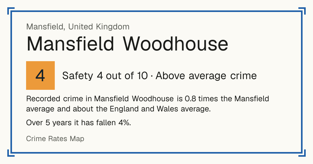
Embed this on your site: a free live safety card for Mansfield Woodhouse.
Questions about crime in Mansfield Woodhouse
- Is Mansfield Woodhouse a safe place to live?
- Mansfield Woodhouse scores 4 out of 10 for safety (above average crime), compared with every neighbourhood in England, Wales and Northern Ireland. Crime severity is 0.8 times the Mansfield average.
- Is crime going up or down in Mansfield Woodhouse?
- Down 4% over 5 years, from 1,473 recorded crimes a year to 1,410.
- What is the most common crime in Mansfield Woodhouse?
- The most common recorded crime is violence and sexual offences (assaults, harassment, sexual offences), about 33 per 1,000 residents a year.
- How does crime in Mansfield Woodhouse compare with Mansfield?
- Crime severity in Mansfield Woodhouse is 0.8 times the Mansfield average.
- How often does crime lead to a charge in Mansfield Woodhouse?
- In NG19, the postcode district at the centre of Mansfield Woodhouse, 9% of crimes reported between September 2024 and August 2025 led to someone being charged or summonsed (England and Wales: 9%). 30% were closed without a suspect being identified.
- How many burglaries are solved in Mansfield Woodhouse?
- Of 100 burglaries reported in NG19, the postcode district at the centre of Mansfield Woodhouse between September 2024 and August 2025, 8% led to someone being charged or summonsed and 70% were closed with no suspect identified.
- How many cars are stolen in Mansfield Woodhouse?
- In Mansfield, the council area Mansfield Woodhouse is in, the police recorded 179 cars stolen in 2025/26 (April 2025 to March 2026), 1.6 per 1,000 residents, down 5% on the year before.
- Is vandalism common in Mansfield Woodhouse?
- 780 acts of vandalism to homes, other buildings and vehicles were recorded in 2025/26, in Mansfield, the council area Mansfield Woodhouse is in, 6.9 per 1,000 residents, 1.4 times the England and Wales average.
- How many murders were there in Mansfield Woodhouse last year?
- 1 homicide (murder or manslaughter) was recorded in 2025/26, in Mansfield, the council area Mansfield Woodhouse is in, against 2 the year before. Police data does not say where in the area they happened.