Crime Rates Map

Rate Crime Rates Map

How useful is the site?

Sent by email to the person who runs the site. Please leave out personal details.

DN9Postcode district

DN9 crime rate and crime map

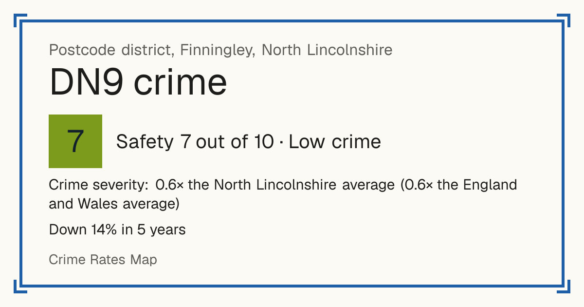
Recorded crime in DN9 is 0.6 times the North Lincolnshire average and 0.6 times the England and Wales average. Over 5 years it has fallen 14%. Most of the harm comes from violence and sexual offences (assaults, harassment, sexual offences). Police data to August 2026.

Finningley, North Lincolnshire. 22,050 residents in 13 neighbourhoods.

Safety in the UK
7/10Low crime
Safety in the world
8/10Low crime
Living
3.8/10Weak
5-year change
−14%fewer crimes
vs the council
0.6×the North Lincolnshire average
Open on the map

Safety and Living

Safety

Crime severity: 0.6× the North Lincolnshire average (0.6× the England and Wales average)

Crime only, by how serious it is. Compared with every postcode district. Higher is safer.

Living

Based on schools, transport, health, supermarkets, weighted by importance. Crime is not part of it. Higher is better.

Neighbourhoods by Safety

Tested: 79% of scores were within 1 point of what happened next. How we test

Doncaster 026A: Safety 6 out of 10, average crimeDoncaster 026B: Safety 8 out of 10, low crimeDoncaster 026D: Safety 7 out of 10, low crimeNorth Lincolnshire 020A: Safety 7 out of 10, low crimeNorth Lincolnshire 020B: Safety 6 out of 10, average crimeNorth Lincolnshire 020C: Safety 6 out of 10, average crimeNorth Lincolnshire 020D: Safety 6 out of 10, average crimeNorth Lincolnshire 023A: Safety 8 out of 10, low crimeNorth Lincolnshire 023B: Safety 6 out of 10, average crimeNorth Lincolnshire 023C: Safety 8 out of 10, low crimeNorth Lincolnshire 023D: Safety 7 out of 10, low crimeDoncaster 038D: Safety 6 out of 10, average crimeDoncaster 038E: Safety 6 out of 10, average crime
1 = least safe, 10 = safest. Grey: no score. Select a neighbourhood to open it on the map.

Crime over 5 years

Down 14% in 5 years Recorded crimes in DN9, anti-social behaviour left out.

Sep 2021 – Aug 2022: 1,023 crimesSep 2021 – Aug 20221,023Sep 2022 – Aug 2023: 1,196 crimesSep 2022 – Aug 20231,196Sep 2023 – Aug 2024: 1,012 crimesSep 2023 – Aug 20241,012Sep 2024 – Aug 2025: 858 crimesSep 2024 – Aug 2025858Sep 2025 – Aug 2026: 881 crimesSep 2025 – Aug 2026881

What is recorded

Crime severity: 0.6× the North Lincolnshire average (0.6× the England and Wales average). 45 recorded crimes per 1,000 residents a year.

  • Violence and sexual offences (assaults, harassment, sexual offences): 58% of the harm here
  • Burglary: 26% of the harm here
  • Other theft: 4% of the harm here

Anti-social behaviour: 8.6 incidents per 1,000 residents a year, not scored. Not a crime, so it is not part of the Safety score.

Shops, transport, schools and health

Distances are straight-line, not walking routes. Scores use fixed distance bands, so they do not depend on other districts. Higher is better.

Supermarkets

Poor accessScore 2 out of 10
  • Typical distance to a large supermarket: 12.5 km.
  • Tesco Doncaster Superstore (Tesco), 18.8 km from the district centre
  • Tesco Gainsborough Superstore (Tesco), 19.0 km from the district centre
  • Sainsburys Edenthorpe (Sainsburys), 19.9 km from the district centre

Transport

Limited accessScore 3 out of 10
  • Typical number of bus stops within 400 m: 2.
  • Nearest railway station: Thorne South Rail Station, 12.2 km from the district centre
  • Nearest tram or metro stop: Parkgate, 49.6 km from the district centre

Schools

Fair schools nearbyScore 5 out of 10

Primary schools within 2 km

  • Hayfield Lane Primary School: Good (ungraded inspection, 2023), 330 m away
  • Auckley Primary Academy: Good (ungraded inspection, 2023), 470 m away
  • Haxey Cofe Primary Academy: Good (ungraded inspection of the predecessor school, 2019), 1.3 km away
  • Epworth Primary Academy: Good (ungraded inspection, 2024), 1.4 km away
  • Belton All Saints CofE Primary School: Good (graded inspection, 2023), 1.6 km away

Secondary schools within 2 km

  • The Hayfield School: Good (ungraded inspection, 2023), 540 m away
  • South Axholme Academy: Good (graded inspection, 2023), 1.1 km away

    Health

    Limited accessScore 4 out of 10
    • Nearest GP surgery: SOUTH AXHOLME PRACTICE, 9.1 km from the district centre, CQC rating: Good, rated 2018
    • Nearest hospital with A&E: Doncaster Royal Infirmary, 23.2 km from the district centre

    Crime by type

    Recorded crimes per 1,000 residents per year, most serious first, not counting anti-social behaviour.

    TypePer 1,000 a year
    Robbery0.2
    Burglary5.2
    Violence and sexual offences (assaults, harassment, sexual offences)18.4
    Drugs0.6
    Possession of weapons (knives and other weapons)0.5
    Other crime1.6
    Other theft4.2
    Theft from the person (pickpocketing, bag snatching)0.1
    Vehicle crime (cars stolen and broken into)3.9
    Criminal damage and arson (vandalism)4.9
    Public order4.1
    Bicycle theft0.2
    Shoplifting1.3

    How often crimes lead to a charge

    In DN9, 4% of crimes reported between September 2024 and August 2025 led to someone being charged or summonsed (England and Wales: 9%).

    Violence and sexual offences: 3% chargedCharged or summonsed: 3%Caution or other action: 9%Suspect found, not prosecuted: 71%No suspect identified: 9%Still open: 8%Criminal damage and arson: 3% chargedCharged or summonsed: 3%Caution or other action: 7%Suspect found, not prosecuted: 30%No suspect identified: 57%Still open: 3%Public order: 3% chargedCharged or summonsed: 3%Caution or other action: 7%Suspect found, not prosecuted: 61%No suspect identified: 27%Still open: 3%Vehicle crime: 1% chargedCharged or summonsed: 1%Caution or other action: 1%Suspect found, not prosecuted: 9%No suspect identified: 87%Still open: 1%Burglary: 2% chargedCharged or summonsed: 2%Suspect found, not prosecuted: 14%No suspect identified: 84%Other theft: 0% chargedCaution or other action: 3%Suspect found, not prosecuted: 32%No suspect identified: 62%Still open: 3%
    Show as a table
    TypeCrimesCharged or summonsedCaution or other actionSuspect found, not prosecutedNo suspect identifiedStill open
    Violence and sexual offences (assaults, harassment, sexual offences)4023%9%71%9%8%
    Criminal damage and arson (vandalism)903%7%30%57%3%
    Public order743%7%61%27%3%
    Vehicle crime (cars stolen and broken into)671%1%9%87%1%
    Burglary642%0%14%84%0%
    Other theft600%3%32%62%3%

    Uses the latest outcome police have recorded so far. 6% of these crimes are still open, so the final figures may be a little higher.

    Trend over the years

    Crime severity per resident (sentence-days of the crimes recorded each year). Hatched bars are years with fewer than twelve months of data for most residents.

    20166.920178.420188.8201911.0202010.120219.3202210.3202311.220249.820257.420268.7

    Last 12 months: 8.2 against a 10-year average of 9.4, 13% lower.

    Recorded crime in DN9 is 0.6 times the North Lincolnshire average and 0.6 times the England and Wales average. Over 5 years it has fallen 14%. Most of the harm comes from violence and sexual offences (assaults, harassment, sexual offences). Police data to August 2026.
    These figures as an image, for sharing.

    Questions about crime in DN9

    Is DN9 a safe place to live?
    DN9 scores 7 out of 10 for safety (low crime), compared with every postcode district in England, Wales and Northern Ireland. Crime severity is 0.6 times the North Lincolnshire average.
    Is crime going up or down in DN9?
    Down 14% over 5 years, from 1,023 recorded crimes a year to 881.
    What is the most common crime in DN9?
    The most common recorded crime is violence and sexual offences (assaults, harassment, sexual offences), about 18 per 1,000 residents a year.
    How does crime in DN9 compare with North Lincolnshire?
    Crime severity in DN9 is 0.6 times the North Lincolnshire average.
    How often does crime lead to a charge in DN9?
    In DN9, 4% of crimes reported between September 2024 and August 2025 led to someone being charged or summonsed (England and Wales: 9%). 34% were closed without a suspect being identified.
    How many burglaries are solved in DN9?
    Of 64 burglaries reported in DN9 between September 2024 and August 2025, 2% led to someone being charged or summonsed and 84% were closed with no suspect identified.

    Towns

    Council: North Lincolnshire

    Other DN postcode districts

    Every UK postcode district