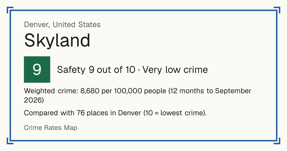
9Skyland
Skyland, United States: crime rate and Safety score
Safety 9 out of 10 Very low crime
9/10 in Denver · 4/10 in the world
Compared with 76 places in Denver (10 = lowest crime). 2 places were left out of the comparison (incomplete figures or very few residents).
Weighted crime: 8,680 per 100,000 people (12 months to September 2026)
Residents: 3,583
How accurate: in 2026-09, 96% of the 76 neighbourhoods compared scored within 1 of their 2025-09 score.
Crime by type, as recorded by Denver Police Department (12 months to September 2026)
| Type | Count | Per 100,000 a year | All places this source covers |
|---|---|---|---|
| Homicide | |||
| Murder | 0 | 0 | 5.5 |
| Violence | |||
| Aggravated assault | 5 | 139.5 | 331.6 |
| Other crimes against people | 5 | 139.5 | 517 |
| Mostly simple assault and intimidation. | |||
| Robbery | |||
| Robbery | 1 | 27.9 | 125.3 |
| Theft and burglary | |||
| Burglary | 10 | 279.1 | 564.9 |
| Theft | 27 | 753.6 | 1,758.2 |
| Theft from vehicles | 25 | 697.7 | 1,090.3 |
| Motor vehicle theft | 15 | 418.6 | 634.3 |
| Drugs | |||
| Drug and alcohol offences | 7 | 195.4 | 569.4 |
| Includes liquor law offences. | |||
| Damage and public order | |||
| Public disorder | 35 | 976.8 | 1,404.6 |
| Mostly criminal mischief (vandalism), threats and disturbing the peace. | |||
| Other | |||
| Arson | 0 | 0 | 19 |
Source: Denver Police Department, updated 28 October 2026.
Recorded crime by type (12 months to September 2026)
| Homicide | 0 |
|---|---|
| Violence | 10 |
| Robbery | 1 |
| Theft and burglary | 77 |
| Drugs | 7 |
| Damage and public order | 35 |
| Other | 0 |
Questions about crime in Skyland
- Is Skyland safe?
- Skyland: Safety 9 out of 10 (Very low crime). Compared with 76 places in Denver (10 = lowest crime). 2 places were left out of the comparison (incomplete figures or very few residents).
- What is the crime rate in Skyland?
- Skyland: Weighted crime: 8,680 per 100,000 people (12 months to September 2026).
- How many murders are there in Skyland?
- Recorded homicides in Skyland (12 months to September 2026): 0.