Crime in Oxted
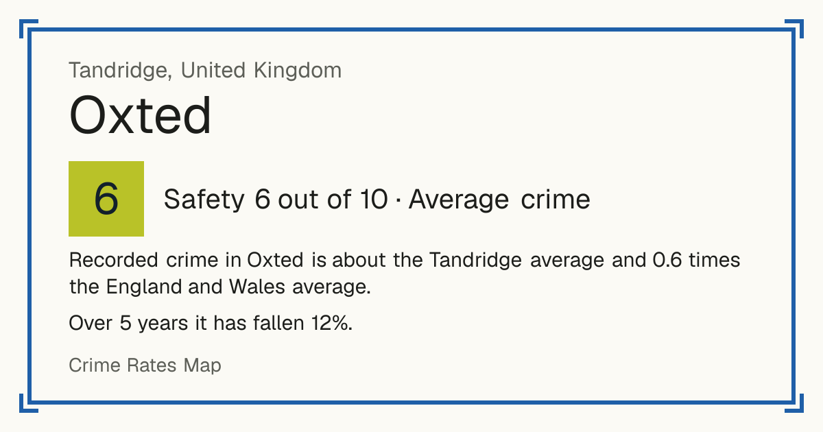
Recorded crime in Oxted is about the Tandridge average and 0.6 times the England and Wales average. Over 5 years it has fallen 12%. Most of the harm comes from violence and sexual offences (assaults, harassment, sexual offences). Police data to August 2026.
Within 1.5 km of the centre of Oxted: about 7,267 residents in 9 neighbourhoods.
- Safety in the UK
- 6/10Average crime
- Living
- 7.7/10Good
- 5-year change
- −12%fewer crimes
- vs the council
- 1.0×the Tandridge average
Neighbourhoods by Safety
Within 1.5 km of the centre of Oxted.
Crime over 5 years
Down 12% in 5 years Recorded crimes within 1.5 km of Oxted, anti-social behaviour left out.
What is recorded
Crime severity: about the Tandridge average (0.6× the England and Wales average). 59 recorded crimes per 1,000 residents a year.
- Violence and sexual offences (assaults, harassment, sexual offences): 50% of the harm here
- Burglary: 26% of the harm here
- Other theft: 7% of the harm here
Anti-social behaviour: 16 incidents per 1,000 residents a year, not scored. Not a crime, so it is not part of the Safety score.
Crimes recorded in Tandridge (the whole council area)
April 2025 to March 2026, for the whole Tandridge council area, not only Oxted. Source: Home Office, police recorded crime by community safety partnership.
| Type | Crimes in 2025/26 | Per 1,000 residents | Change on 2024/25 |
|---|---|---|---|
| Cars stolen | 175 | 1.9 | Up 14% |
| Cars broken into | 188 | 2.1 | Down 6% |
| Vandalism (homes, other buildings and vehicles) | 389 | 4.3 | Up 11% |
| Burglary of homes | 129 | 1.4 | Down 7% |
| Homicide (murder and manslaughter) | 0 | - | - |
Under 10 a year: no rate or change, the numbers are too small to compare.
How often crimes lead to a charge in RH8
In RH8, the postcode district at the centre of Oxted, 7% of crimes reported between September 2024 and August 2025 led to someone being charged or summonsed (England and Wales: 9%).
- Charged or summonsed
- Caution or other action
- Suspect found, not prosecuted
- No suspect identified
- Still open
Show as a table
| Type | Crimes | Charged or summonsed | Caution or other action | Suspect found, not prosecuted | No suspect identified | Still open |
|---|---|---|---|---|---|---|
| Violence and sexual offences (assaults, harassment, sexual offences) | 277 | 6% | 4% | 61% | 16% | 13% |
| Shoplifting | 106 | 12% | 1% | 29% | 56% | 2% |
| Criminal damage and arson (vandalism) | 84 | 5% | 0% | 27% | 64% | 4% |
| Other theft | 83 | 0% | 0% | 13% | 77% | 10% |
| Public order | 77 | 12% | 1% | 55% | 26% | 6% |
| Vehicle crime (cars stolen and broken into) | 70 | 0% | 0% | 9% | 86% | 6% |
Uses the latest outcome police have recorded so far. 8% of these crimes are still open, so the final figures may be a little higher.
Crime by type
Recorded crimes per 1,000 residents per year, most serious first, not counting anti-social behaviour.
| Type | Per 1,000 a year |
|---|---|
| Robbery | 0.3 |
| Burglary | 5.3 |
| Violence and sexual offences (assaults, harassment, sexual offences) | 16.4 |
| Drugs | 1.7 |
| Possession of weapons (knives and other weapons) | 0.5 |
| Other crime | 1.2 |
| Other theft | 6.4 |
| Theft from the person (pickpocketing, bag snatching) | 0.5 |
| Vehicle crime (cars stolen and broken into) | 5.8 |
| Criminal damage and arson (vandalism) | 7.5 |
| Public order | 6.4 |
| Bicycle theft | 0.3 |
| Shoplifting | 6.5 |
Postcode districts in Oxted
Nearby towns
Council: Tandridge
Questions about crime in Oxted
- Is Oxted a safe place to live?
- Oxted scores 6 out of 10 for safety (average crime), compared with every neighbourhood in England, Wales and Northern Ireland. Crime severity is about the Tandridge average.
- Is crime going up or down in Oxted?
- Down 12% over 5 years, from 426 recorded crimes a year to 373.
- What is the most common crime in Oxted?
- The most common recorded crime is violence and sexual offences (assaults, harassment, sexual offences), about 16 per 1,000 residents a year.
- How does crime in Oxted compare with Tandridge?
- Crime severity in Oxted is about the Tandridge average.
- How often does crime lead to a charge in Oxted?
- In RH8, the postcode district at the centre of Oxted, 7% of crimes reported between September 2024 and August 2025 led to someone being charged or summonsed (England and Wales: 9%). 45% were closed without a suspect being identified.
- How many cars are stolen in Oxted?
- In Tandridge, the council area Oxted is in, the police recorded 175 cars stolen in 2025/26 (April 2025 to March 2026), 1.9 per 1,000 residents, up 14% on the year before.
- Is vandalism common in Oxted?
- 389 acts of vandalism to homes, other buildings and vehicles were recorded in 2025/26, in Tandridge, the council area Oxted is in, 4.3 per 1,000 residents, 0.9 times the England and Wales average.
- How many murders were there in Oxted last year?
- No homicides (murder or manslaughter) were recorded in 2025/26, in Tandridge, the council area Oxted is in, against 1 the year before.