Crime in Kearsley
Recorded crime in Kearsley is 0.9 times the Bolton average and 1.2 times the England and Wales average. The police force here stopped publishing data after June 2019. Most of the harm comes from violence and sexual offences (assaults, harassment, sexual offences).
Within 1.5 km of the centre of Kearsley: about 14,368 residents in 17 neighbourhoods.
- Safety in the UK
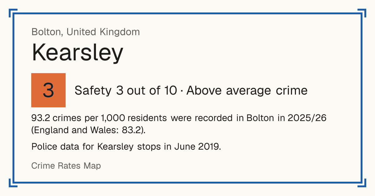
- 3/10Above average crime (data up to 2019)
- Living
- 7.9/10Good
- vs the council
- 0.9×the Bolton average
Crime in Bolton now
The police force here has published no street-level crime for Kearsley since June 2019, so the map and scores below are from before then. These are the latest Home Office figures for the whole council area, April 2025 to March 2026.
93.2 crimes per 1,000 residents were recorded in Bolton in 2025/26 (England and Wales: 83.2).
Greater Manchester Police did not assign 5.9% of the crimes it recorded in 2025/26 to a council area, so these figures are lower than the true count.
| Type | Crimes in 2025/26 | Per 1,000 residents | Change on 2024/25 |
|---|---|---|---|
| Cars stolen | 506 | 1.6 | Down 13% |
| Cars broken into | 678 | 2.2 | Down 3% |
| Vehicle tampering | 175 | 0.56 | Down 14% |
| Vandalism to homes | 839 | 2.7 | Down 17% |
| Vandalism to other buildings | 321 | 1.0 | Down 6% |
| Vandalism to vehicles | 674 | 2.2 | Down 5% |
| Arson | 140 | 0.45 | Down 15% |
| Burglary of homes | 681 | 2.2 | Down 25% |
| Burglary of businesses | 287 | 0.93 | Down 7% |
| Homicide (murder and manslaughter) | 1 | - | - |
| Carrying a knife or blade | 246 | 0.79 | About the same |
| Carrying other weapons (including guns) | 241 | 0.78 | Up 12% |
| Robbery of people | 276 | 0.89 | Down 24% |
| Robbery of businesses | 127 | 0.41 | Up 81% |
| Violence with injury | 2,725 | 8.8 | Down 3% |
| Violence without injury | 5,292 | 17.1 | Down 5% |
| Stalking and harassment | 4,554 | 14.7 | Down 5% |
| Sexual offences | 1,051 | 3.4 | Down 7% |
| Shoplifting | 1,459 | 4.7 | Down 35% |
| Bicycle theft | 129 | 0.42 | Up 4% |
| Theft from the person (pickpocketing, bag snatching) | 149 | 0.48 | Down 29% |
| Drug dealing | 708 | 2.3 | Up 8% |
| Drug possession | 983 | 3.2 | Up 46% |
Under 10 a year: no rate or change, the numbers are too small to compare. These are council-area figures: police.uk street-level data, used for the map and the Safety score, only has the broad categories, and no source publishes murders or stabbings by street. Source: Home Office, police recorded crime by community safety partnership.
Greater Manchester Police area: 2,831 offences involving a knife or sharp instrument in 2025/26 (3,425 the year before). This covers the whole police force area, not only Bolton.
Source: Home Office, police recorded knife crime by police force.
Neighbourhoods by Safety
Within 1.5 km of the centre of Kearsley.
Postcode districts in Kearsley
Nearby towns
Council: Bolton
Questions about crime in Kearsley
- Is Kearsley a safe place to live?
- Kearsley scores 3 out of 10 for safety (above average crime), compared with every neighbourhood in England, Wales and Northern Ireland. Crime severity is 0.9 times the Bolton average. Police data here stops in June 2019.
- What is the most common crime in Kearsley?
- The most common recorded crime is violence and sexual offences (assaults, harassment, sexual offences), about 32 per 1,000 residents a year. Police data here stops in June 2019.
- How does crime in Kearsley compare with Bolton?
- Crime severity in Kearsley is 0.9 times the Bolton average. Police data here stops in June 2019.
- How many cars are stolen in Kearsley?
- In Bolton, the council area Kearsley is in, the police recorded 506 cars stolen in 2025/26 (April 2025 to March 2026), 1.6 per 1,000 residents, down 13% on the year before.
- Is vandalism common in Kearsley?
- 1,834 acts of vandalism to homes, other buildings and vehicles were recorded in 2025/26, in Bolton, the council area Kearsley is in, 5.9 per 1,000 residents, 1.2 times the England and Wales average.
- How many murders were there in Kearsley last year?
- 1 homicide (murder or manslaughter) was recorded in 2025/26, in Bolton, the council area Kearsley is in, against 2 the year before. Police data does not say where in the area they happened.