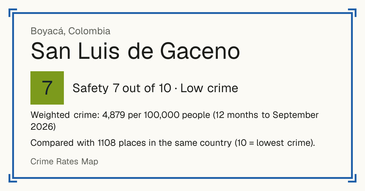
7San Luis de Gaceno
San Luis de Gaceno, Colombia: crime rate and Safety score
Safety 7 out of 10 Low crime
7/10 in Colombia · 2/10 in the world
Compared with 1108 places in the same country (10 = lowest crime).
Weighted crime: 4,879 per 100,000 people (12 months to September 2026)
Crime by type, as recorded by MinDefensa / Policía Nacional (12 months to September 2026)
| Type | Count | Per 100,000 a year | All places this source covers |
|---|---|---|---|
| Homicide | |||
| Homicide | 1 | 17.8 | 26.3 |
| Counted in victims, not cases; femicides included. | |||
| Sexual offences | |||
| Sexual offences | 4 | 71.2 | 59 |
| Violence | |||
| Assault causing injury | 4 | 71.2 | 181.5 |
| Domestic violence | 4 | 71.2 | 284.7 |
| Kidnapping | 0 | 0 | 0.9 |
| Robbery | |||
| Extortion | 0 | 0 | 25.7 |
| Cargo and vehicle hijacking | 0 | 0 | 0.1 |
| Theft and burglary | |||
| Theft and robbery from people | 3 | 53.4 | 518.3 |
| Colombian law counts thefts and robberies together as hurto, so street robbery is in this line. | |||
| Home burglary | 1 | 17.8 | 47.3 |
| Theft from shops and businesses | 0 | 0 | 41.7 |
| Car and motorbike theft | 0 | 0 | 79.3 |
| Theft from banks | 0 | 0 | 0 |
| Livestock theft | 0 | 0 | 1 |
| Other | |||
| Computer crime | 6 | 106.8 | 170.9 |
Source: MinDefensa / Policía Nacional, updated 28 October 2026.
Recorded crime by type (12 months to September 2026)
| Homicide | 1 |
|---|---|
| Sexual offences | 4 |
| Violence | 8 |
| Robbery | 0 |
| Theft and burglary | 4 |
| Other | 6 |
Questions about crime in San Luis de Gaceno
- Is San Luis de Gaceno safe?
- San Luis de Gaceno: Safety 7 out of 10 (Low crime). Compared with 1108 places in the same country (10 = lowest crime).
- What is the crime rate in San Luis de Gaceno?
- San Luis de Gaceno: Weighted crime: 4,879 per 100,000 people (12 months to September 2026).
- How many murders are there in San Luis de Gaceno?
- Recorded homicides in San Luis de Gaceno (12 months to September 2026): 1.