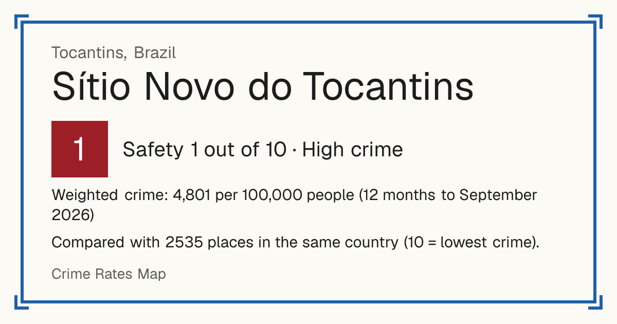
1Sítio Novo do Tocantins
Sítio Novo do Tocantins, Brazil: crime rate and Safety score
Safety 1 out of 10 High crime
1/10 in Brazil · 1/10 in the world
Compared with 2535 places in the same country (10 = lowest crime). 4 places were left out of the comparison (incomplete figures or very few residents).
Weighted crime: 4,801 per 100,000 people (12 months to September 2026)
Crime by type, as recorded by MJSP, Sinesp VDE (12 months to September 2026)
| Type | Count | Per 100,000 a year | All places this source covers |
|---|---|---|---|
| Homicide | |||
| Intentional homicide | 5 | 46.2 | 16.1 |
| Counted in victims, not cases. | |||
| Femicide | 0 | 0 | 0.9 |
| Counted in victims, not cases. | |||
| Robbery resulting in death | 0 | 0 | 0.4 |
| Counted in victims, not cases. | |||
| Assault resulting in death | 0 | 0 | 0.3 |
| Counted in victims, not cases. | |||
| Violence | |||
| Attempted homicide | 2 | 18.5 | 20.4 |
| Attempts only; counted in victims. | |||
| Attempted femicide | 0 | 0 | 2.9 |
| Attempts only; counted in victims. | |||
Source: MJSP, Sinesp VDE, updated 29 October 2026.
Recorded crime by type (12 months to September 2026)
| Homicide | 5 |
|---|---|
| Violence | 2 |
Questions about crime in Sítio Novo do Tocantins
- Is Sítio Novo do Tocantins safe?
- Sítio Novo do Tocantins: Safety 1 out of 10 (High crime). Compared with 2535 places in the same country (10 = lowest crime). 4 places were left out of the comparison (incomplete figures or very few residents).
- What is the crime rate in Sítio Novo do Tocantins?
- Sítio Novo do Tocantins: Weighted crime: 4,801 per 100,000 people (12 months to September 2026).
- How many murders are there in Sítio Novo do Tocantins?
- Recorded homicides in Sítio Novo do Tocantins (12 months to September 2026): 5.