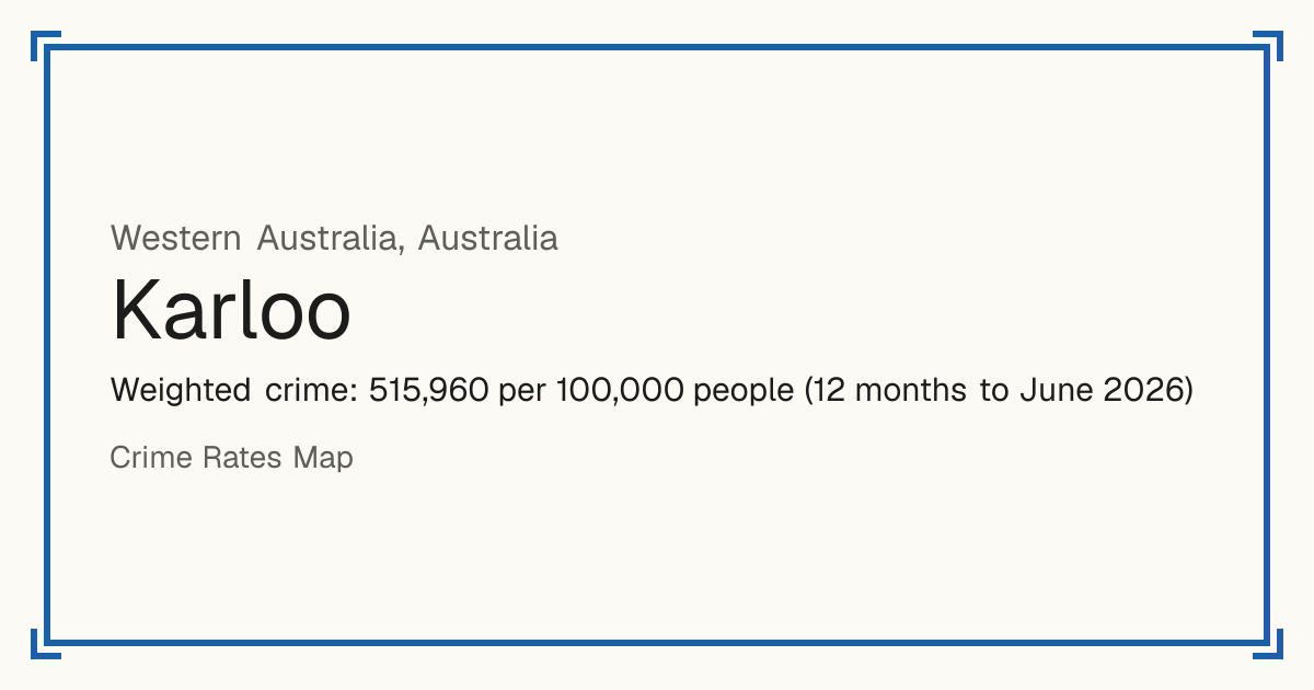
-Karloo
Karloo, Australia: crime rate and Safety score
No Safety score: very few residents and a very high rate, so a figure per resident would mislead.
Weighted crime: 515,960 per 100,000 people (12 months to June 2026)
Residents: 495
How accurate: not enough history to test this score yet.
Crime by type, as recorded by WA Police Force (12 months to June 2026)
| Type | Count | Per 100,000 a year | All places this source covers |
|---|---|---|---|
| Homicide | |||
| Homicide | 0 | 0 | 3.3 |
| Includes attempted murder and driving causing death. | |||
| Sexual offences | |||
| Recent sexual offences | 4 | 808.1 | 202.5 |
| Historical sexual offences | 0 | 0 | 80.5 |
| Reported in this period, committed more than a year earlier. | |||
| Violence | |||
| Family assault | 114 | 23,030.3 | 1,384.1 |
| Non-family assault | 25 | 5,050.5 | 700.9 |
| Family threatening behaviour | 70 | 14,141.4 | 434.7 |
| Non-family threatening behaviour | 11 | 2,222.2 | 281.3 |
| Deprivation of liberty | 0 | 0 | 12.9 |
| Robbery | |||
| Robbery | 0 | 0 | 55.2 |
| Theft and burglary | |||
| Burglary | 13 | 2,626.3 | 476.3 |
| Motor vehicle theft | 4 | 808.1 | 180.4 |
| Stealing | 35 | 7,070.7 | 2,651.5 |
| Drugs | |||
| Drug offences | 52 | 10,505.1 | 1,300.5 |
| Damage and public order | |||
| Property damage | 58 | 11,717.2 | 1,108.4 |
| Arson | 3 | 606.1 | 40 |
| Graffiti | 0 | 0 | 49.6 |
| Other | |||
| Fraud | 5 | 1,010.1 | 709.8 |
Source: WA Police Force, updated 28 October 2026.
Recorded crime by type (12 months to June 2026)
| Homicide | 0 |
|---|---|
| Sexual offences | 4 |
| Violence | 220 |
| Robbery | 0 |
| Theft and burglary | 52 |
| Drugs | 52 |
| Damage and public order | 61 |
| Other | 5 |
Questions about crime in Karloo
- Is Karloo safe?
- Karloo: No Safety score: very few residents and a very high rate, so a figure per resident would mislead.
- What is the crime rate in Karloo?
- Karloo: Weighted crime: 515,960 per 100,000 people (12 months to June 2026).
- How many murders are there in Karloo?
- Recorded homicides in Karloo (12 months to June 2026): 0.