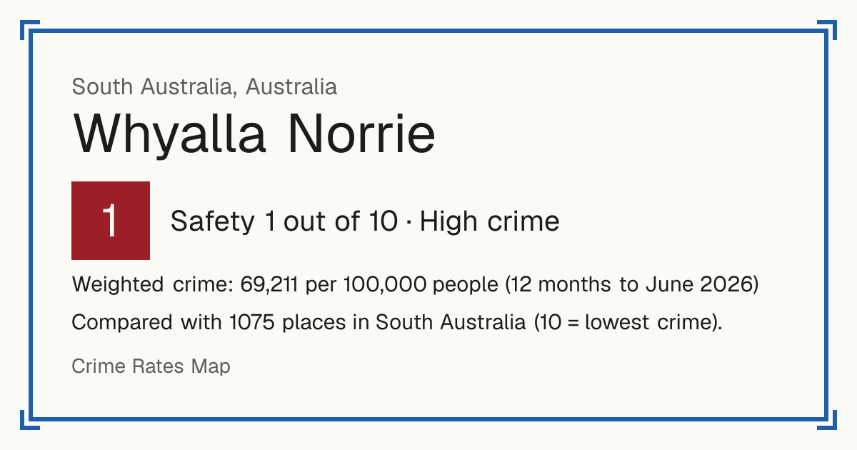
1Whyalla Norrie
Whyalla Norrie, Australia: crime rate and Safety score
Safety 1 out of 10 High crime
1/10 in South Australia · 4/10 in the world
Compared with 1075 places in South Australia (10 = lowest crime). 85 places were left out of the comparison (incomplete figures or very few residents).
Weighted crime: 69,211 per 100,000 people (12 months to June 2026)
Residents: 6,288
How accurate: not enough history to test this score yet.
Crime by type, as recorded by South Australia Police (12 months to June 2026)
| Type | Count | Per 100,000 a year | All places this source covers |
|---|---|---|---|
| Homicide | |||
| Homicide | 0 | 0 | 2.6 |
| Includes attempted murder and driving causing death. | |||
| Violence | |||
| Assault | 264 | 4,198.5 | 1,359.4 |
| Threats, harassment and other harm | 19 | 302.2 | 160.1 |
| Robbery | |||
| Robbery and extortion | 5 | 79.5 | 37.5 |
| Theft and burglary | |||
| Burglary and unlawful entry | 140 | 2,226.5 | 718 |
| Theft, including vehicles | 425 | 6,758.9 | 2,817.3 |
| Damage and public order | |||
| Property damage, including arson | 331 | 5,264 | 1,251.7 |
| Other | |||
| Fraud | 21 | 334 | 229.5 |
Source: South Australia Police, updated 28 October 2026.
Recorded crime by type (12 months to June 2026)
| Homicide | 0 |
|---|---|
| Violence | 283 |
| Robbery | 5 |
| Theft and burglary | 565 |
| Damage and public order | 331 |
| Other | 21 |
Questions about crime in Whyalla Norrie
- Is Whyalla Norrie safe?
- Whyalla Norrie: Safety 1 out of 10 (High crime). Compared with 1075 places in South Australia (10 = lowest crime). 85 places were left out of the comparison (incomplete figures or very few residents).
- What is the crime rate in Whyalla Norrie?
- Whyalla Norrie: Weighted crime: 69,211 per 100,000 people (12 months to June 2026).
- How many murders are there in Whyalla Norrie?
- Recorded homicides in Whyalla Norrie (12 months to June 2026): 0.