Crime Rates Map

Rate Crime Rates Map

How useful is the site?

Sent by email to the person who runs the site. Please leave out personal details.

M14Postcode district

M14 crime rate and crime map

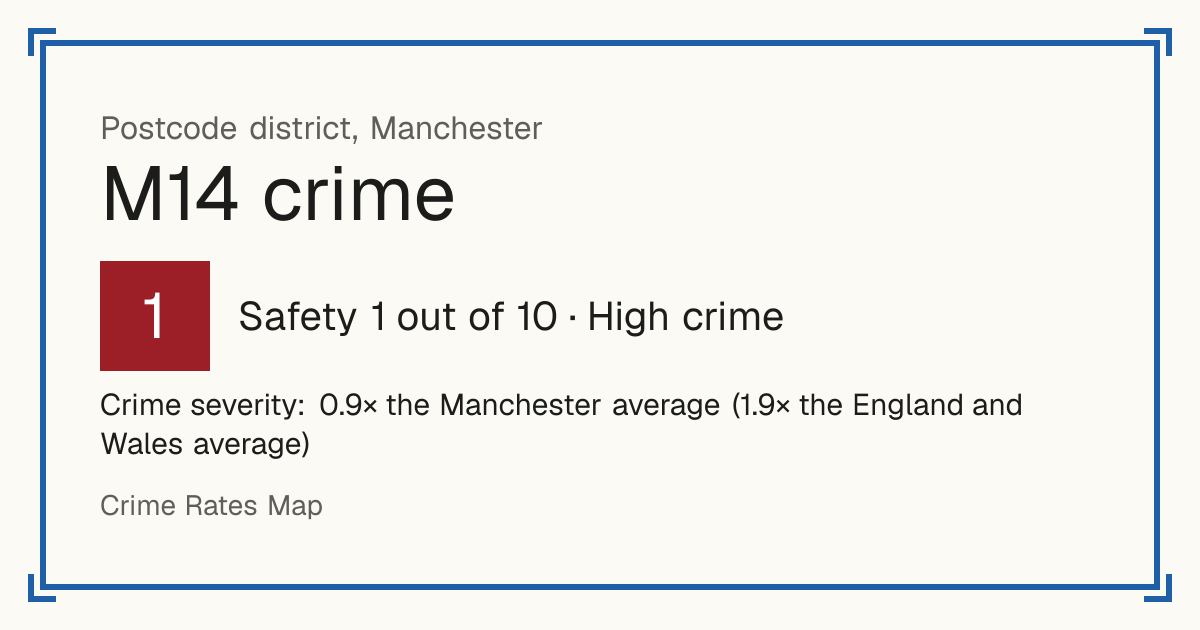
Recorded crime in M14 is 0.9 times the Manchester average and 1.9 times the England and Wales average. The police force here stopped publishing data after June 2019. The biggest share of the harm comes from burglary.

Manchester. 60,533 residents in 31 neighbourhoods.

Safety in the UK
1/10High crime (data up to 2019)
Safety in the world
6/10Average crime
Living
8.6/10Excellent
vs the council
0.9×the Manchester average
Open on the map

Crime in Manchester now

The police force here has published no street-level crime for M14 since June 2019, so the map and scores below are from before then. These are the latest Home Office figures for the whole council area, April 2025 to March 2026.

133.8 crimes per 1,000 residents were recorded in Manchester in 2025/26 (England and Wales: 83.2).

Greater Manchester Police did not assign 5.9% of the crimes it recorded in 2025/26 to a council area, so these figures are lower than the true count.

Recorded crimes by type, 2025/26
TypeCrimes in 2025/26Per 1,000 residentsChange on 2024/25
Cars stolen1,1181.9Down 4%
Cars broken into3,0345.1Down 13%
Vehicle tampering3680.62Down 16%
Vandalism to homes1,6182.7Down 8%
Vandalism to other buildings1,0781.8Down 11%
Vandalism to vehicles1,8613.2Down 9%
Arson2980.51Down 6%
Burglary of homes1,5602.6Down 32%
Burglary of businesses8651.5Down 16%
Homicide (murder and manslaughter)7--
Carrying a knife or blade7341.2Down 6%
Carrying other weapons (including guns)5560.94About the same
Robbery of people1,0961.9Down 31%
Robbery of businesses3810.65Up 72%
Violence with injury6,44210.9Down 10%
Violence without injury13,77023.4Down 5%
Stalking and harassment8,09013.7Down 10%
Sexual offences2,7404.6Down 4%
Shoplifting4,6617.9Down 12%
Bicycle theft1,1071.9About the same
Theft from the person (pickpocketing, bag snatching)2,2773.9Down 36%
Drug dealing1,5452.6Down 26%
Drug possession4,7548.1Up 55%

Under 10 a year: no rate or change, the numbers are too small to compare. These are council-area figures: police.uk street-level data, used for the map and the Safety score, only has the broad categories, and no source publishes murders or stabbings by street. Source: Home Office, police recorded crime by community safety partnership.

Greater Manchester Police area: 2,831 offences involving a knife or sharp instrument in 2025/26 (3,425 the year before). This covers the whole police force area, not only Manchester.

Source: Home Office, police recorded knife crime by police force.

Crime in Manchester

Safety and Living

Safety

Crime severity: 0.9× the Manchester average (1.9× the England and Wales average)

Crime only, by how serious it is. Compared with every postcode district. Higher is safer.

Living

Based on schools, transport, health, supermarkets, weighted by importance. Crime is not part of it. Higher is better.

Neighbourhoods by Safety

Manchester 030A: Safety 2 out of 10, high crimeManchester 030C: Safety 1 out of 10, high crimeManchester 030E: Safety 4 out of 10, above average crimeManchester 030F: Safety 2 out of 10, high crimeManchester 032A: Safety 1 out of 10, high crimeManchester 032B: Safety 1 out of 10, high crimeManchester 022B: Safety 1 out of 10, high crimeManchester 022C: Safety 1 out of 10, high crimeManchester 022D: Safety 1 out of 10, high crimeManchester 025C: Safety 1 out of 10, high crimeManchester 024C: Safety 2 out of 10, high crimeManchester 024D: Safety 3 out of 10, above average crimeManchester 032C: Safety 1 out of 10, high crimeManchester 035D: Safety 3 out of 10, above average crimeManchester 026B: Safety 2 out of 10, high crimeManchester 026C: Safety 1 out of 10, high crimeManchester 025D: Safety 1 out of 10, high crimeManchester 026D: Safety 1 out of 10, high crimeManchester 025E: Safety 1 out of 10, high crimeManchester 036B: Safety 1 out of 10, high crimeManchester 036C: Safety 2 out of 10, high crimeManchester 036D: Safety 1 out of 10, high crimeManchester 036E: Safety 1 out of 10, high crimeManchester 019F: Safety 1 out of 10, high crimeManchester 024E: Safety 4 out of 10, above average crimeManchester 024F: Safety 2 out of 10, high crimeManchester 025F: Safety 2 out of 10, high crimeManchester 025G: Safety 3 out of 10, above average crimeManchester 025H: Safety 3 out of 10, above average crimeManchester 025I: Safety 2 out of 10, high crimeManchester 032F: Safety 2 out of 10, high crime
1 = least safe, 10 = safest. Grey: no score. Select a neighbourhood to open it on the map.

Shops, transport, schools and health

Distances are straight-line, not walking routes. Scores use fixed distance bands, so they do not depend on other districts. Higher is better.

Supermarkets

Good accessScore 8 out of 10
  • Typical distance to a large supermarket: 1.3 km.
  • Sainsburys Fallowfield (Sainsburys), 1.3 km from the district centre
  • Asda Hulme Superstore (Asda), 2.6 km from the district centre
  • Asda Longsight Superstore (Asda), 3.1 km from the district centre

Transport

Good accessScore 7 out of 10
  • Typical number of bus stops within 400 m: 6.
  • Nearest railway station: Mauldeth Road Rail Station, 2.6 km from the district centre
  • Nearest tram or metro stop: Burton Road (Manchester Metrolink), 2.7 km from the district centre

Schools

Excellent schools nearbyScore 9 out of 10

Primary schools within 2 km

  • St Kentigern's RC Primary School, a Voluntary Academy: Outstanding (ungraded inspection, 2024), 210 m away
  • Holy Name Roman Catholic Primary School Manchester: Outstanding (graded inspection, 2024), 310 m away
  • Cringle Brook Primary School: Outstanding (ungraded inspection, 2024), 670 m away
  • Old Moat Primary School: Outstanding (graded inspection, 2024), 760 m away
  • St Mary's CofE Junior and Infant School: Outstanding (graded inspection, 2024), 970 m away

Secondary schools within 2 km

  • Manchester Academy: Good (graded inspection, 2022), 350 m away
  • Manchester Enterprise Academy Central: Strong standard (report card, 2026), 360 m away
  • Burnage Academy for Boys: Outstanding (ungraded inspection, 2024), 1.1 km away
  • Levenshulme High School: Strong standard (report card, 2026), 1.4 km away
  • St Peter's RC High School: Strong standard (report card, 2026), 1.8 km away

    Health

    Excellent accessScore 10 out of 10
    • Nearest GP surgery: WILMSLOW ROAD SURGERY, 530 m from the district centre, CQC rating: Good, rated 2022
    • Nearest hospital with A&E: Manchester University Hospitals (central site), 1.5 km from the district centre
    Recorded crime in M14 is 0.9 times the Manchester average and 1.9 times the England and Wales average. The police force here stopped publishing data after June 2019. The biggest share of the harm comes from burglary.
    These figures as an image, for sharing.

    Questions about crime in M14

    Is M14 a safe place to live?
    M14 scores 1 out of 10 for safety (high crime), compared with every postcode district in England, Wales and Northern Ireland. Crime severity is 0.9 times the Manchester average. Police data here stops in June 2019.
    What is the most common crime in M14?
    The most common recorded crime is violence and sexual offences (assaults, harassment, sexual offences), about 30 per 1,000 residents a year. The most harm, weighted by how serious each crime is, comes from burglary. Police data here stops in June 2019.
    How does crime in M14 compare with Manchester?
    Crime severity in M14 is 0.9 times the Manchester average. Police data here stops in June 2019.

    Nearest town

    Council: Manchester

    Other M postcode districts

    Every UK postcode district