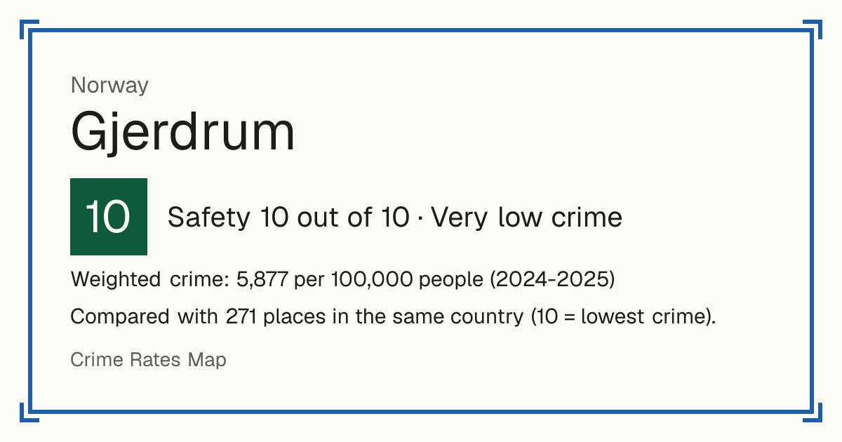
10Gjerdrum
Gjerdrum, Norway: crime rate and Safety score
Safety 10 out of 10 Very low crime
10/10 in Norway · 10/10 in the world
Compared with 271 places in the same country (10 = lowest crime). 86 places were left out of the comparison (incomplete figures or very few residents).
Weighted crime: 5,877 per 100,000 people (2024-2025)
Crime by type, as recorded by SSB (2024-2025)
| Type | Count | Per 100,000 a year | All places this source covers |
|---|---|---|---|
| Violence | |||
| Violence and abuse | 27 | 362.3 | 820.1 |
| Yearly average over the two years shown. | |||
| Theft and burglary | |||
| Property theft | 41 | 550.1 | 1,950 |
| Yearly average over the two years shown. | |||
| Drugs | |||
| Drug and alcohol offences | 5 | 67.1 | 532.2 |
| Yearly average over the two years shown. | |||
| Damage and public order | |||
| Public order and integrity offences | 21 | 281.8 | 615.8 |
| Yearly average over the two years shown. | |||
| Other | |||
| Other offences | 55 | 738 | 1,266.2 |
| Includes other acquisitive crime, criminal damage and sexual offences. Yearly average over the two years shown. | |||
Source: SSB, updated 28 October 2026.
Recorded crime by type (2024-2025)
| Violence | 27 |
|---|---|
| Theft and burglary | 41 |
| Drugs | 5 |
| Damage and public order | 21 |
| Other | 55 |
Questions about crime in Gjerdrum
- Is Gjerdrum safe?
- Gjerdrum: Safety 10 out of 10 (Very low crime). Compared with 271 places in the same country (10 = lowest crime). 86 places were left out of the comparison (incomplete figures or very few residents).
- What is the crime rate in Gjerdrum?
- Gjerdrum: Weighted crime: 5,877 per 100,000 people (2024-2025).
Living
9/10 Living 9 out of 10, compared with other places in the same country.
Raw score 5.5 out of 10, before ranking.
- Schools: 7/10
- Transport: 2/10
- Health: 6/10
- Supermarkets: 7/10
Nearest places
- School: Veståsen skole 1.6 km
- School: Gjerdrum ungdomsskole 1.7 km
- School: Gjerdrum barneskole 1.8 km
- Bus stop: Fossum 300 m
- Doctor or clinic: Gjerdrum legesenter 2.3 km
- A&E: Akershus universitetssykehus 17.2 km
- Supermarket: Rema 1000 Ask 1.7 km
- Supermarket: Extra Gjerdrum 1.8 km
Schools count by distance only: there are no inspection grades to use.